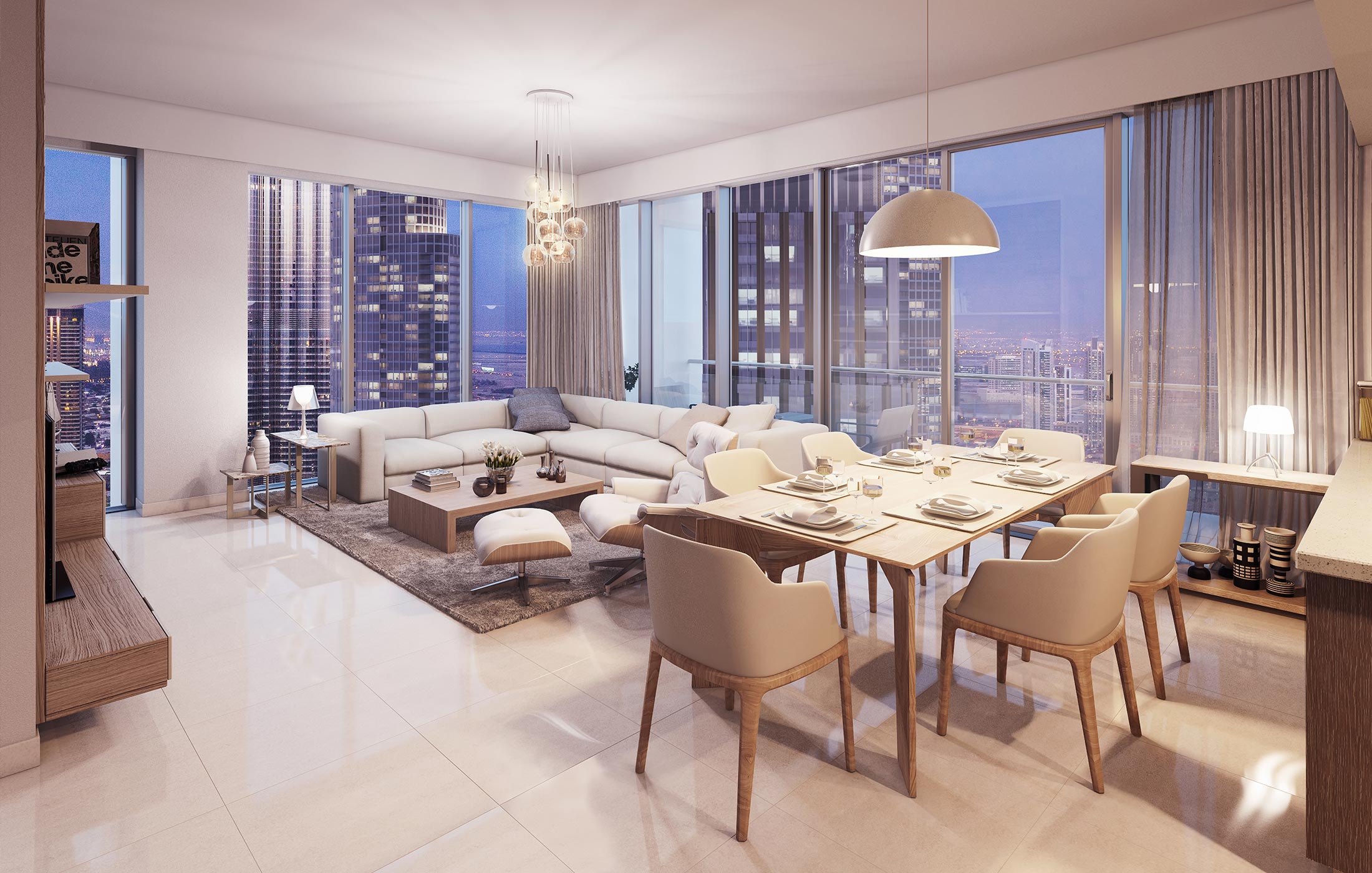
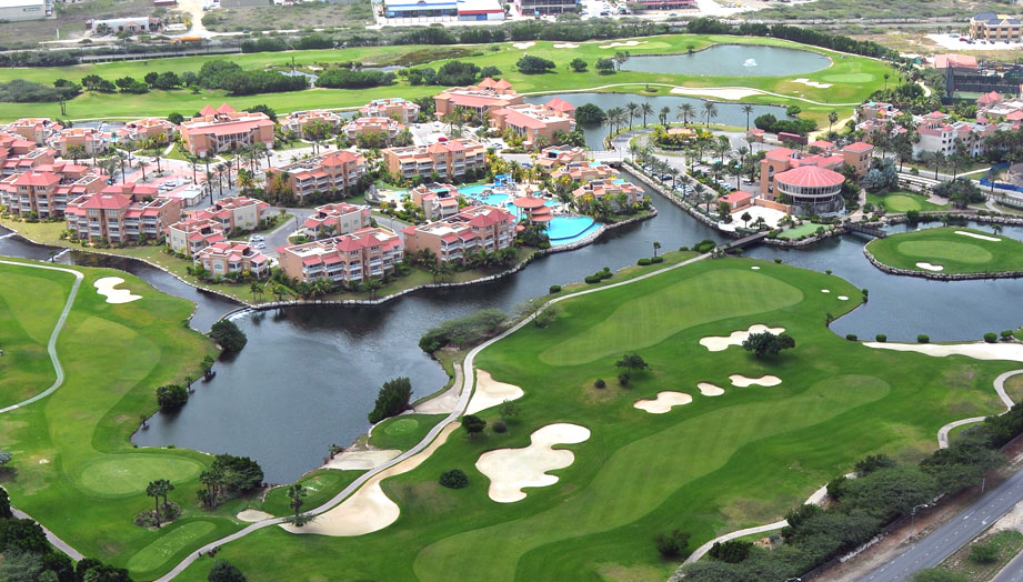
3D Modeling
We use basic building floor plans to develop 3D models, including elevations and sections, detailed external features, and infrastructure assets, allowing project estimates to include detailed data on materials and building costs.
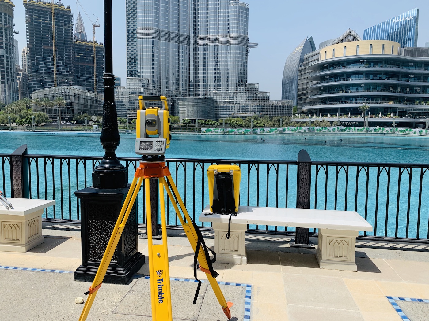
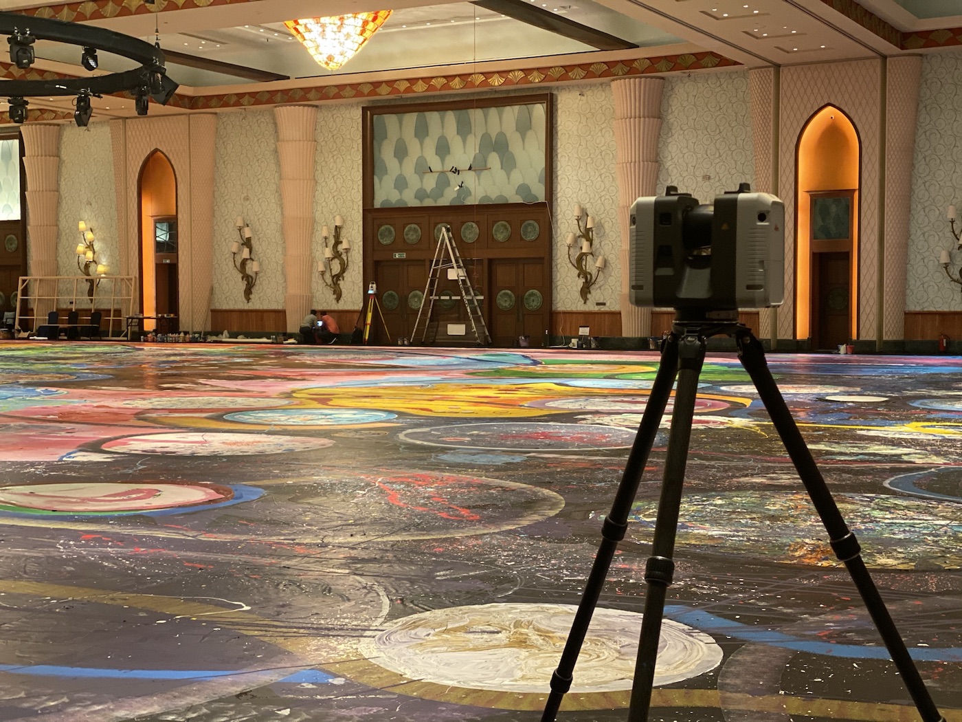
We employ the latest 3D laser scanning technology to create 3D models using Revit, producing accurate as-built survey data. These models help teams update design plans, ensure the built environment aligns with project goals, and work more efficiently during the construction administration process.
- Provides streamlined, reliable, and exacting data
- Detects and resolve issues earlier in project timelines
- Use 3D models instantly to update and modify as-built plans
Our team will work with yours from start to finish, delivering the 3D building and site models you need for analysis, modifications, and project deliverables.
Scan to BIM
Scanning and authoring of accurate BIM models are to International Industry BIM & Measurement Standards and fit for purpose for as-built asset management, construction progression, design development, accurate area measurement and integration into GIS.
Our BIM Services extend to assist our clients with consultancy to leverage the power of the BIM/GIS models with setup, training, and support.
Data captured with latest 3D laser scanners converted to BIM models that are accurate and precise in accordance with International Measurement Standards and fit for purpose as defined at the outset in the Employer’s Information Requirements (EIR) to ensure models can be used in a dependable way during all phases of the design cycle in the following disciplines, Architecture, Structural Engineering and MEP Services.
PRD is a world leader in Strata Survey offering independent and experienced measurement advice to all stakeholders, across all markets. Consulting on small single use projects to vast mixed-use portfolios.