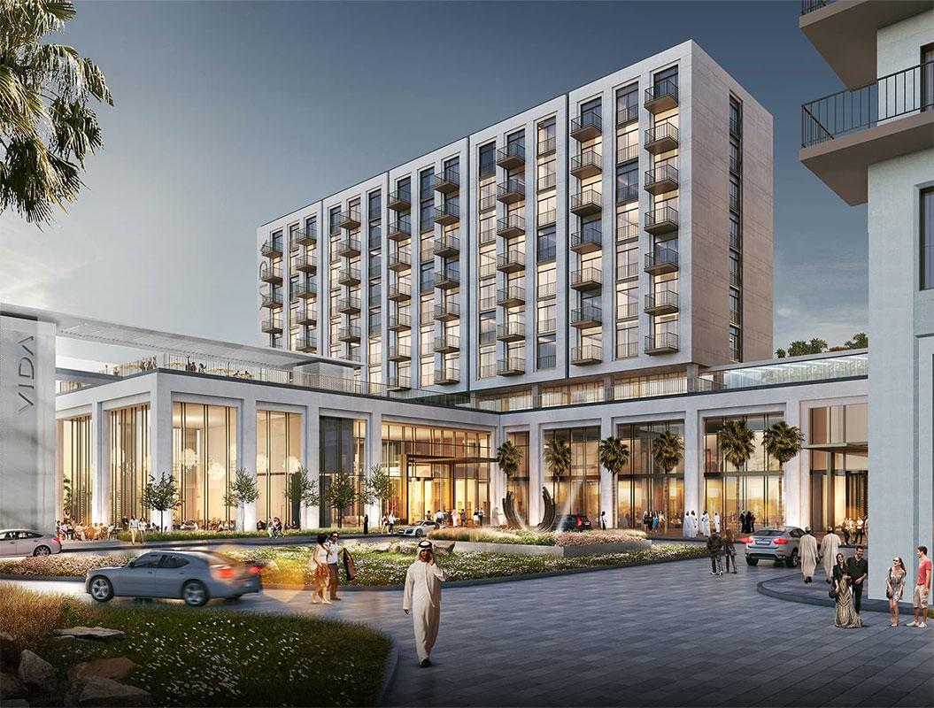
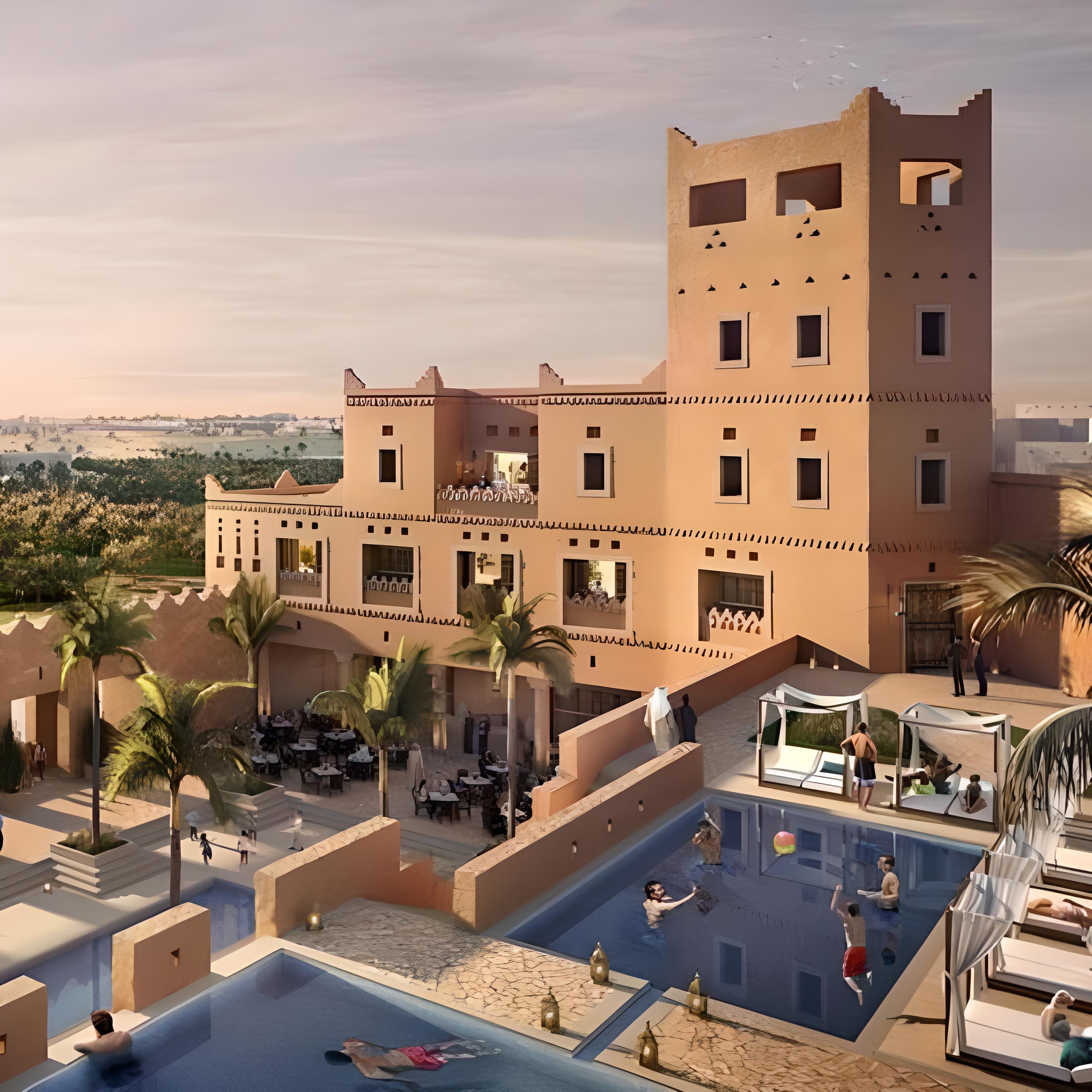
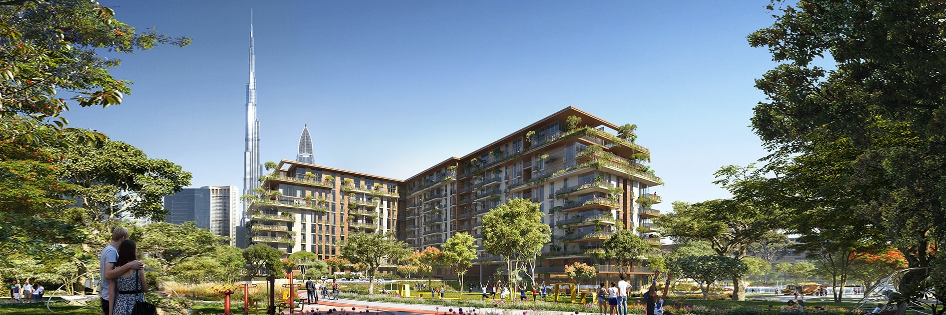
Building Information Model (BIM)
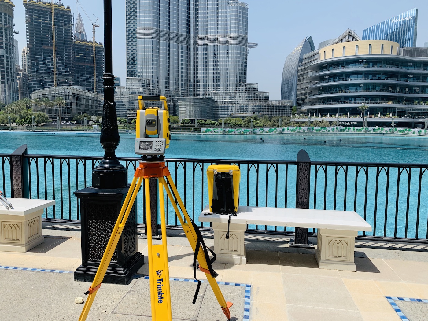
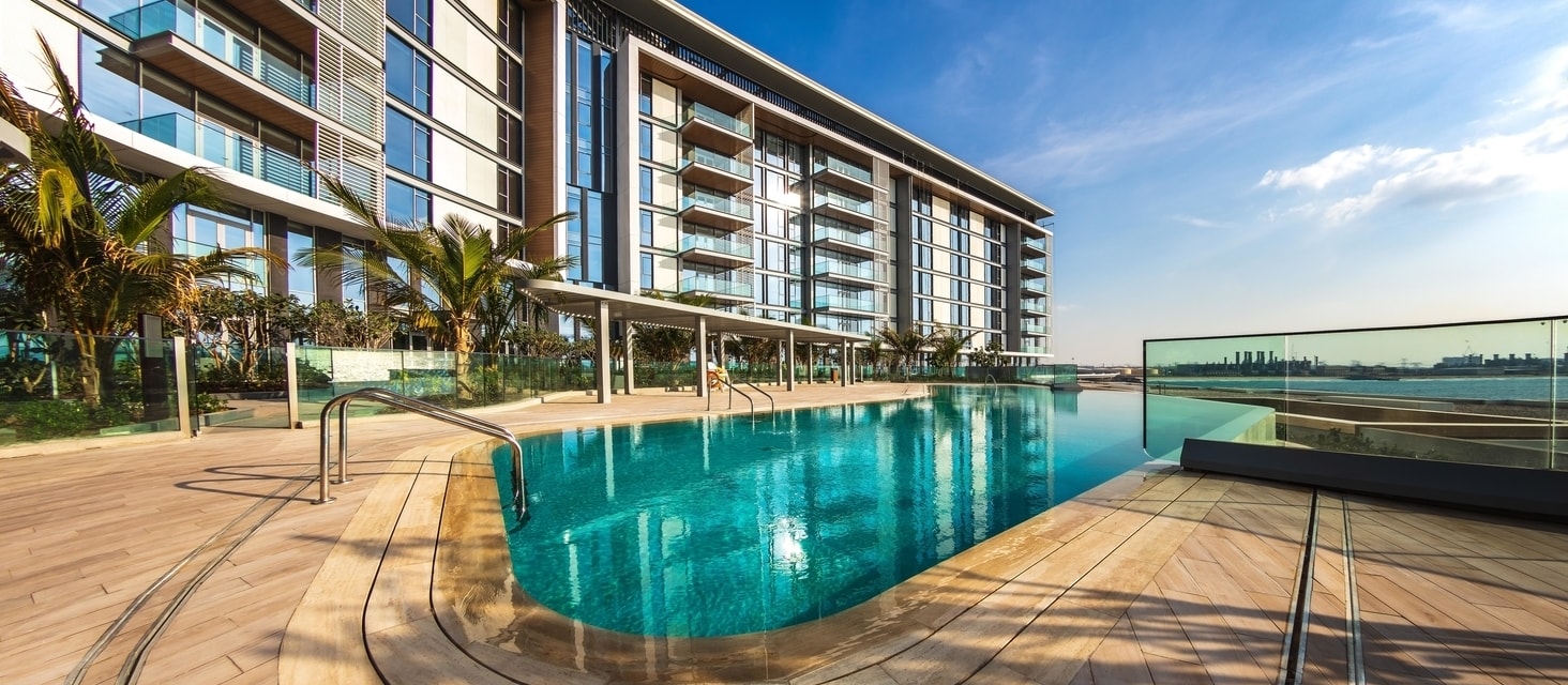
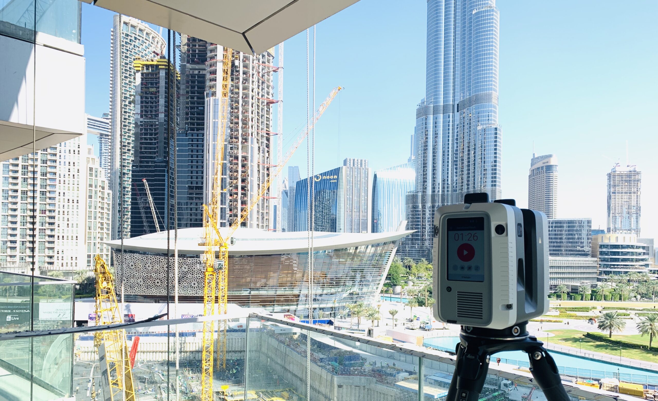
Our measurement services offer unbiased data on built assets and natural environments. Whether you are a property management firm that needs a leasing agreement, a real estate firm looking for an accurate valuation, or a commercial client that requires detailed site measurements and plans, you can count on PRD to deliver prompt, accessible data in interactive, digital formats. Our data collection methods use the latest 3D laser scanners, total stations and GNSS solutions for geospatial alignment. Our speed and accuracy of data capture improves our deliverables for all our services across all sectors.
Scan to BIM
Our Building Information Model (BIM) services start with cloud point data collected from laser scanning technology, which we can translate into comprehensive 3D BIM files that give project stakeholders all the necessary information they may need.
These models provide accurate, thorough site data throughout the design and construction process, and valuable as-built data for project deliverables. Our team conducts BIM according to international standards and our own best practices and provides BIM consultation for clients to help them generate models within their budget and timeline.
Data captured with latest 3D laser scanners converted to BIM models that are accurate and precise in accordance with International Measurement Standards and fit for purpose as defined at the outset in the Employer’s Information Requirements (EIR) to ensure models can be used in a dependable way during all phases of the design cycle in the following disciplines, Architecture, Structural Engineering and MEP Services.
Laser Scanning Technology
- Scanning provides for rapid data collection.
- Minimum disruption and intrusion on site
- Negates return visits to site due to the completeness of the data collection.
- Improved safety on site.
- Provides an immediate archive of the built asset (ideal for further comprehensive desk-studies).
BIM Management
- Federated model coordination and Clash Detection, across disciplines.
- Consultation to assist or manage effective use of Electronic Document Management Systems (EDMS)
- Consultation to assist or manage effective use of Common Data Environment (CDE) to industry and global standards (BS PAS1192 and/or ISO 19650)
- Guidance on Information Management to International Standards
Revit and 3D Models
We use basic building floor plans to develop 3D models, including elevations and sections, detailed external features, and infrastructure assets, allowing project estimates to include detailed data on materials and building costs.
We employ the latest 3D laser scanning technology to create 3D models in Revit, producing accurate as-built survey data. These models help teams update design plans, ensure the built environment aligns with project goals, and work more efficiently during the construction administration process.
- Provides streamlined, reliable, and exacting data
- Detects and resolve issues earlier in project timelines
- Use 3D models instantly to update and modify as-built plans
Our team will work with you from start to finish, delivering the 3D building and site models you need for analysis, modifications, and project deliverables.